|
| Rangiroa from above (Photo Caro Mahuta) |
Rangiro-aaah!
High Slack Water – Aho High Water time (NOAA) + 3:18
Low Slack Water – Aho Low Water time (NOAA) + 3:38
Mean Low Water: Tiputa pass: 16m – Avatoru pass: 4m
Local contact: Catamaran “Rangiroa” – Jean-Marie & Fred – 689-723510
 |
| Rangiroa anchorages |
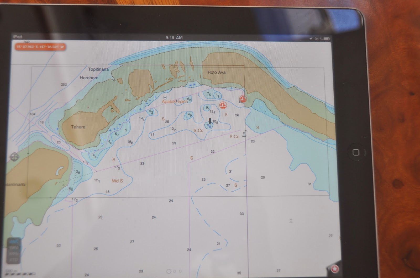
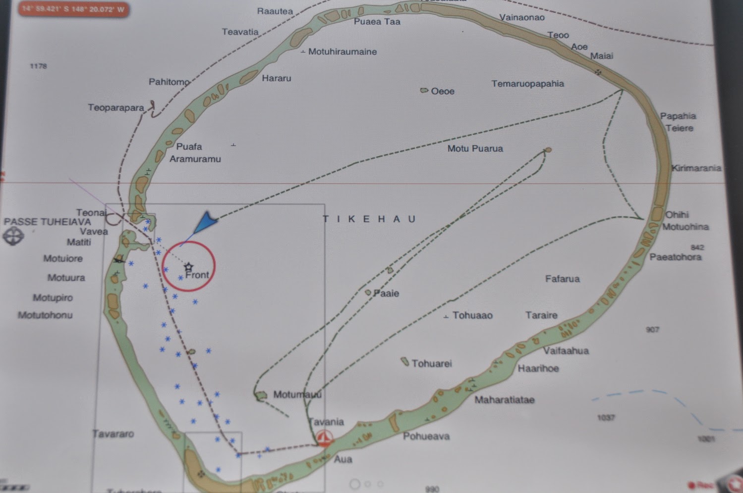
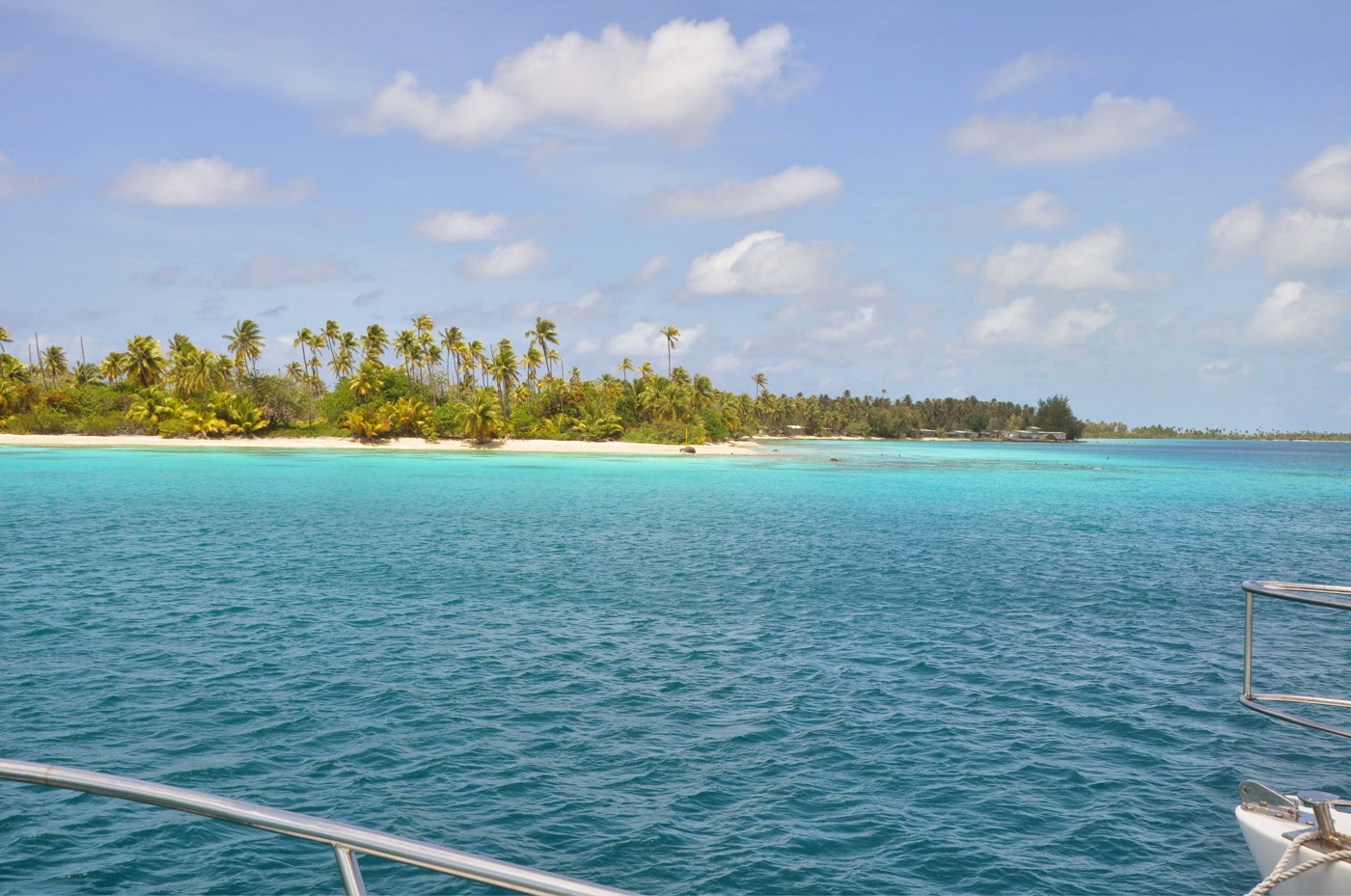
Rangiroa Passes:
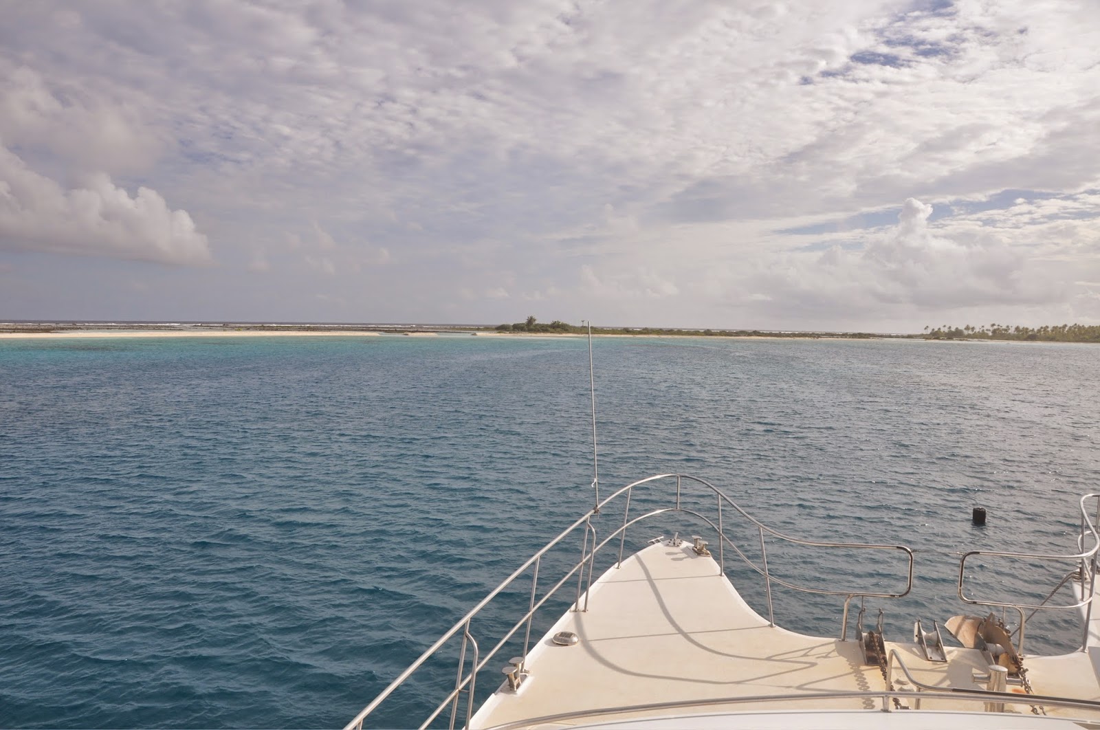
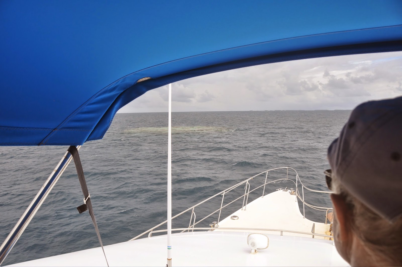
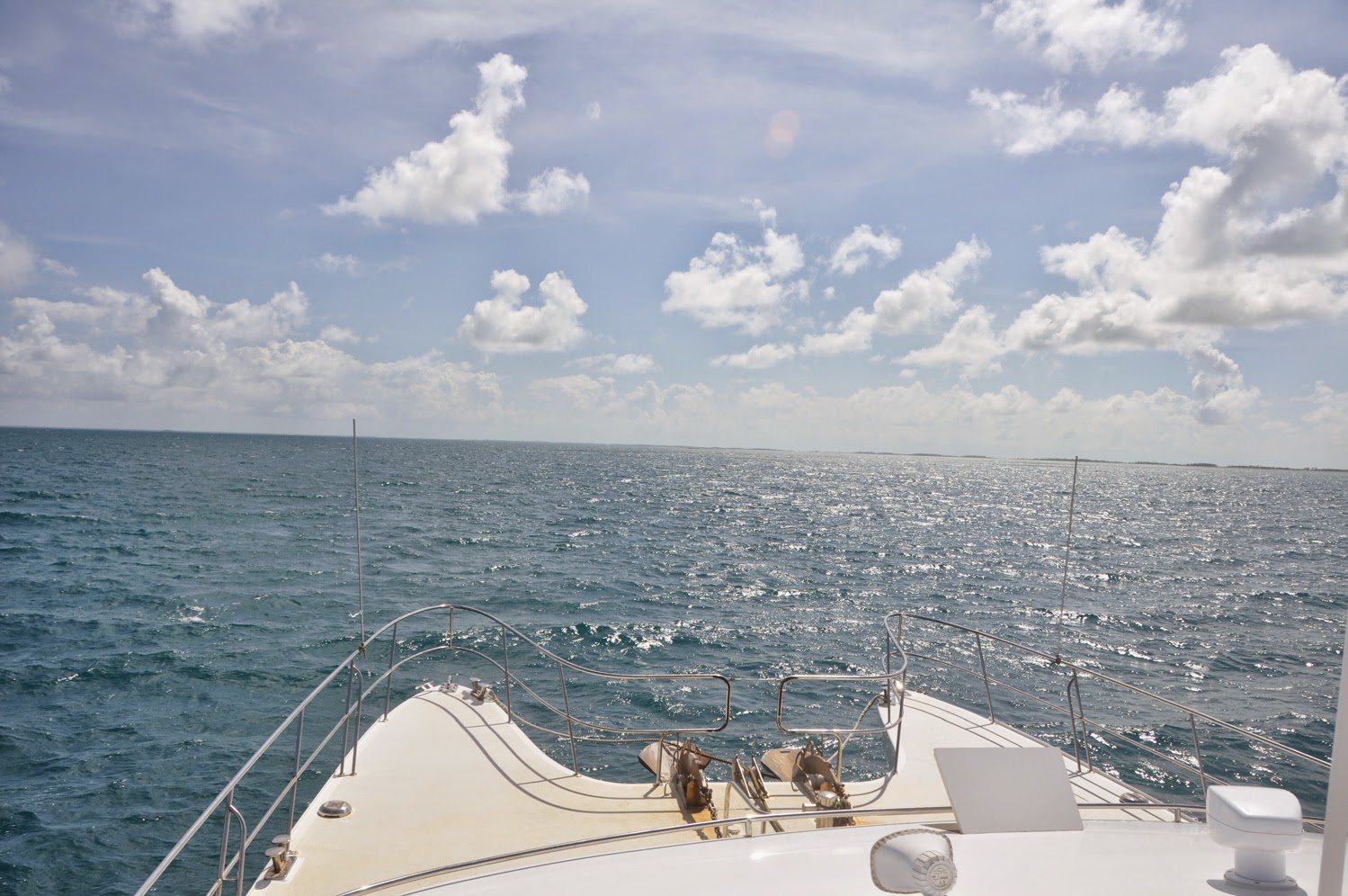
1) AVATORU – The shallower of the 2 passes, we were told can be dangerous. We took it to exit the lagoon at slack water and it was flat. Since the lagoon side is relatively shallow, we favored the S.E. side of the pass where the water is deeper. Once inside the pass, we found deep water and no problem.
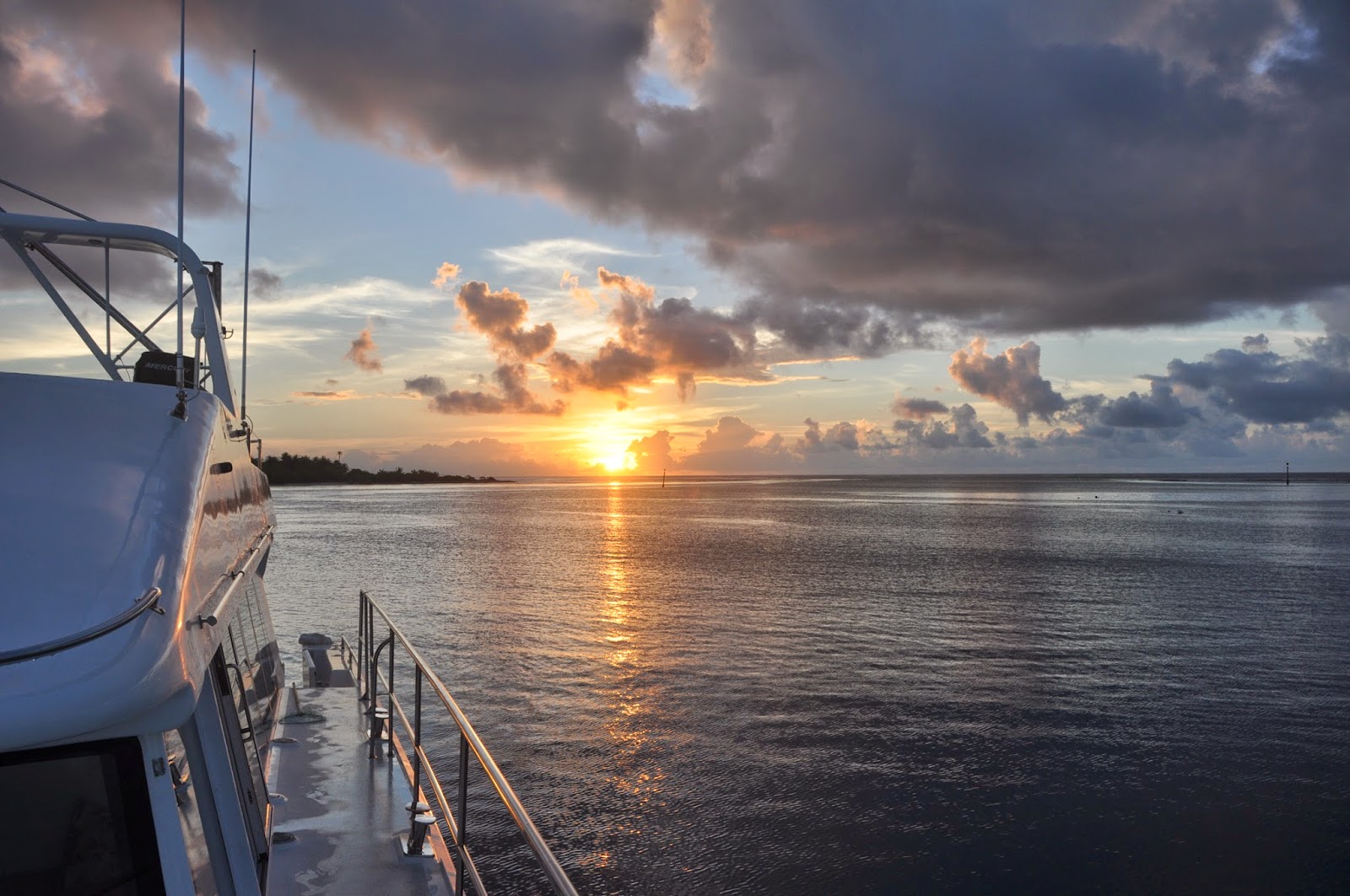
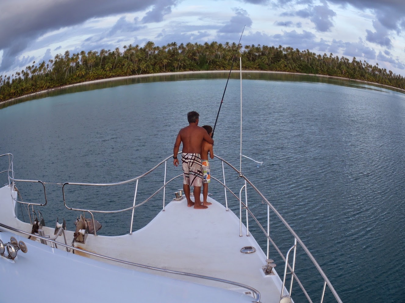
2) TIPUTA – Deep and wide, this is the preferred pass where large cargo ship have no problem entering. We took it several times, always arriving early in front of the pass and waiting for slack water. While you wait, take a look at the big dolphins jumping in the surf: one almost landed on our foredeck!
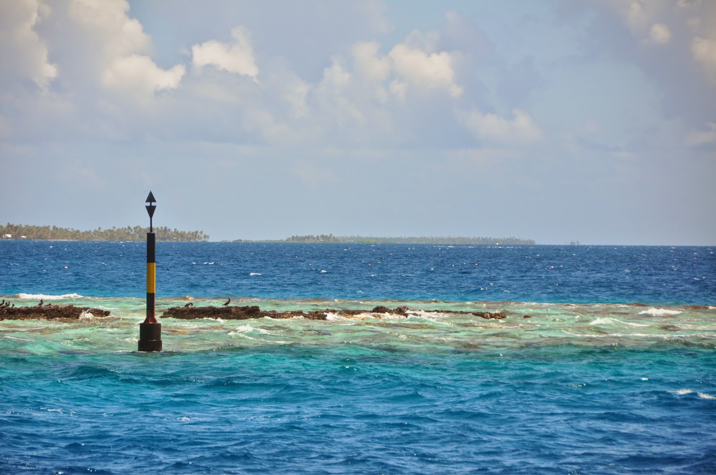
NOTE: Between the passes on the lagoon side, our i-Sailorclearly indicates a traffic lane scheme. Careful! The lanes are invaded by pearl farm buoys, so keep a good lookout!
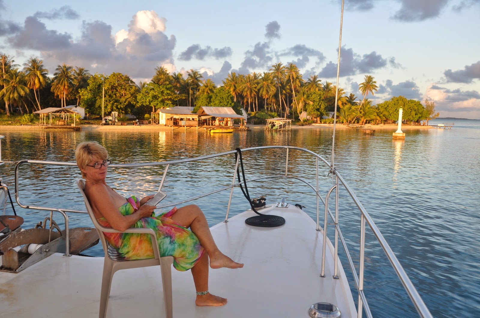
Our 3 weeks in the Rangiroa-Tikehau area were just a blast! The weather, for starters, was clement. Keep in mind that we are still in the cyclonic season, this until the end of April. As such, we are likely to experience a succession of troughs and periods of calm. As we reached Rangiroa, the trough that had been dumping squalls for the last 10 days was moving SW and soon a period of calm settled over us. That’s when our Tahithian friends Caro and Williams and their kids joined us for a little R&R. We were ready.
Our fishing has improved significantly. While we were waiting for slack water in front of Tiputa Pass, we circled the DCPs (Dispositifs de Concentration de Poisson = FAD: Fish Aggregating Devices) and hit the fish that was sitting there, waiting for the tide to turn and push the lagoon creatures into the ocean. Three wahoos, 3 tunas and 2 dorados later, we entered the pass.
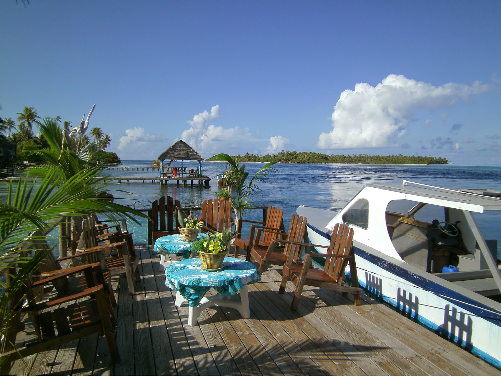
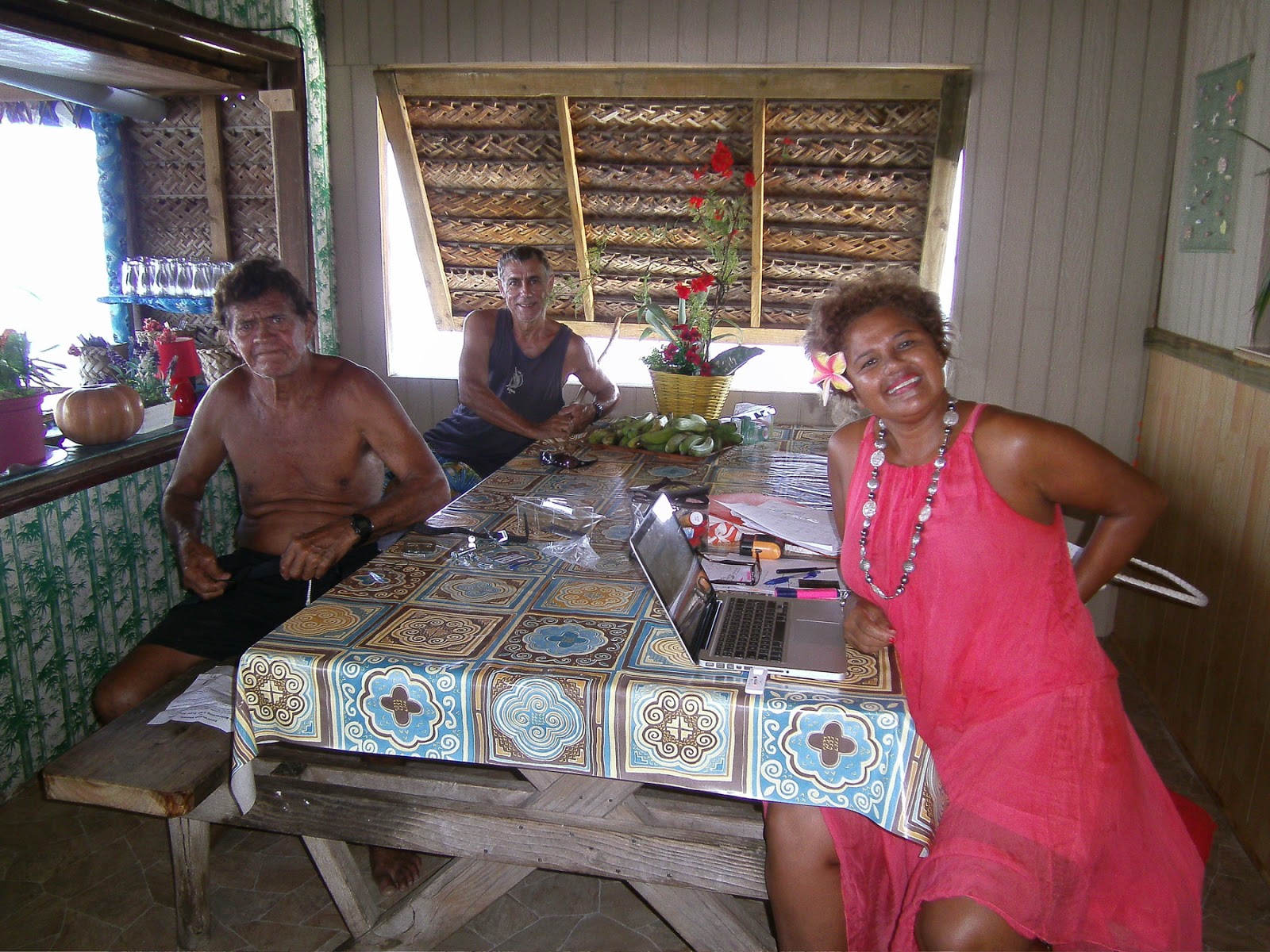
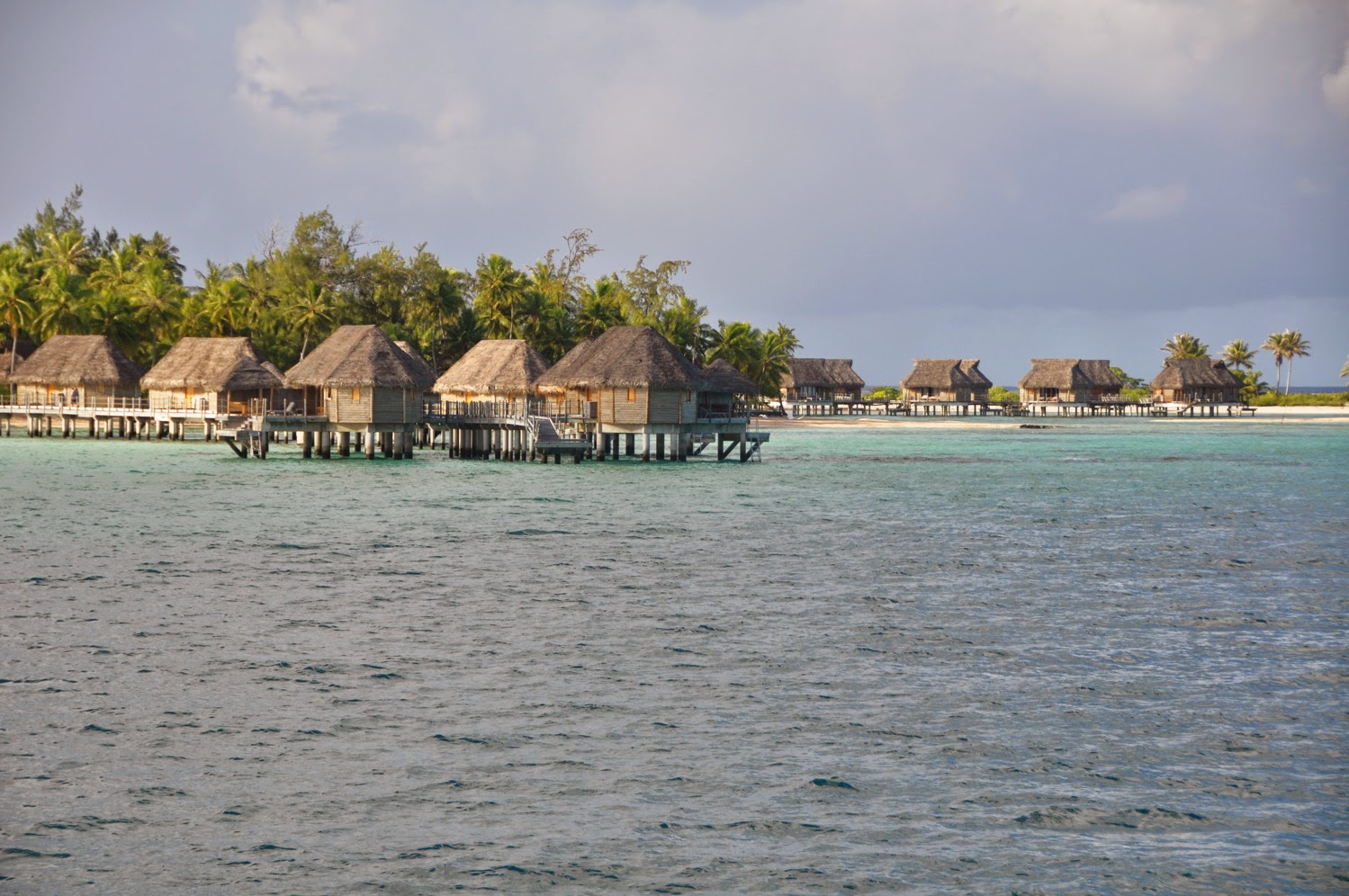
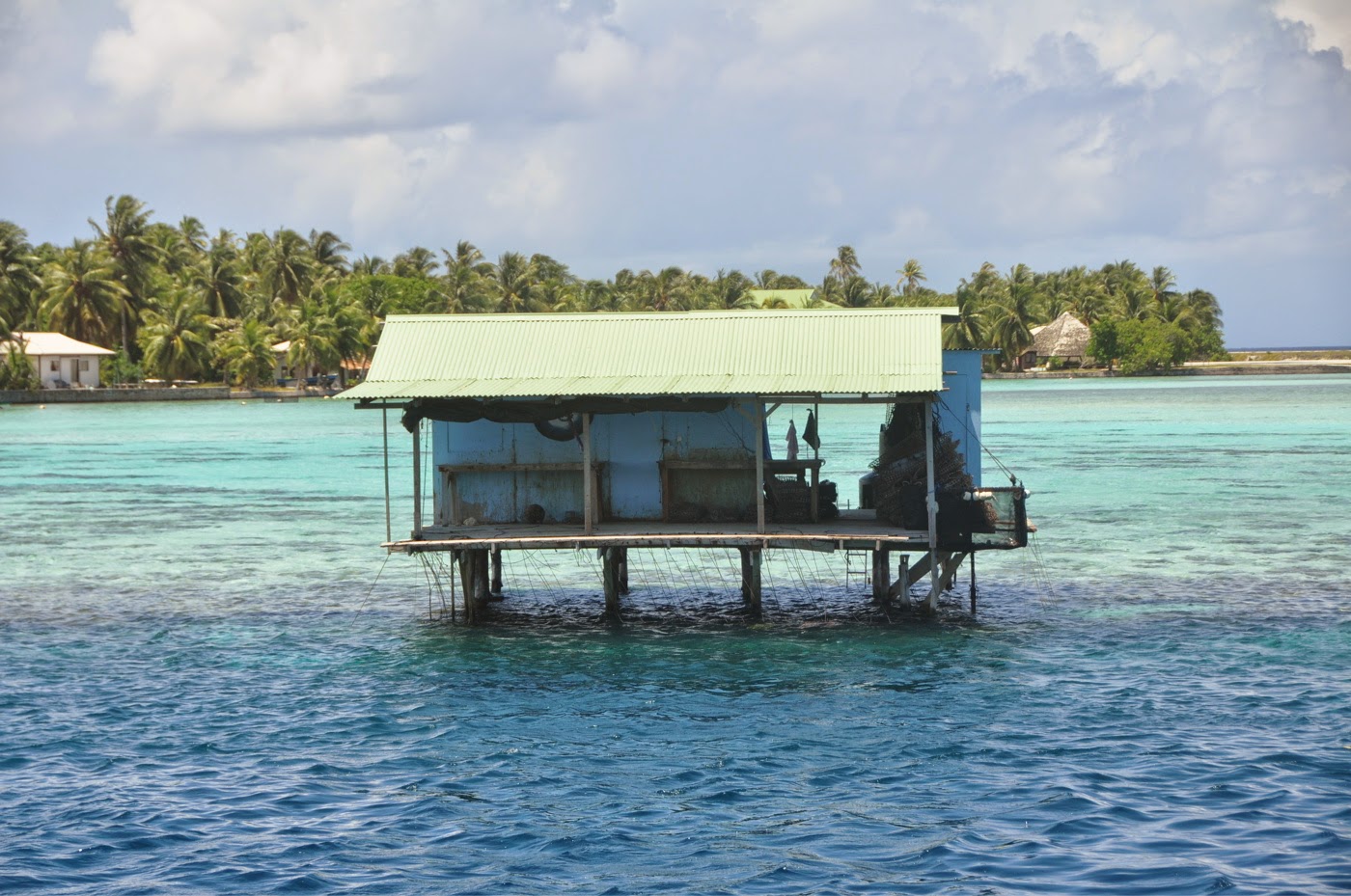
Since Rangiroa is a large atoll, some 45 miles long and 18 miles wide, wind waves can significantly affect the anchorage. We dropped anchor in front of the Kia Ora resort, next to the big charter catamaran RANGIROA whom we had met in Panama. Jean-Marie and Fred gave us a warm welcome. Since they were between 2 charter cruises, they had time to spend with us and help us organize our stay.
 |
| “Feos” anchorage |
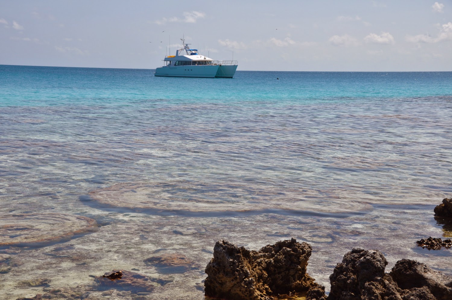
KIA ORA Anchorage – S 14°58.07 – W 147°38.30 – 15 meters
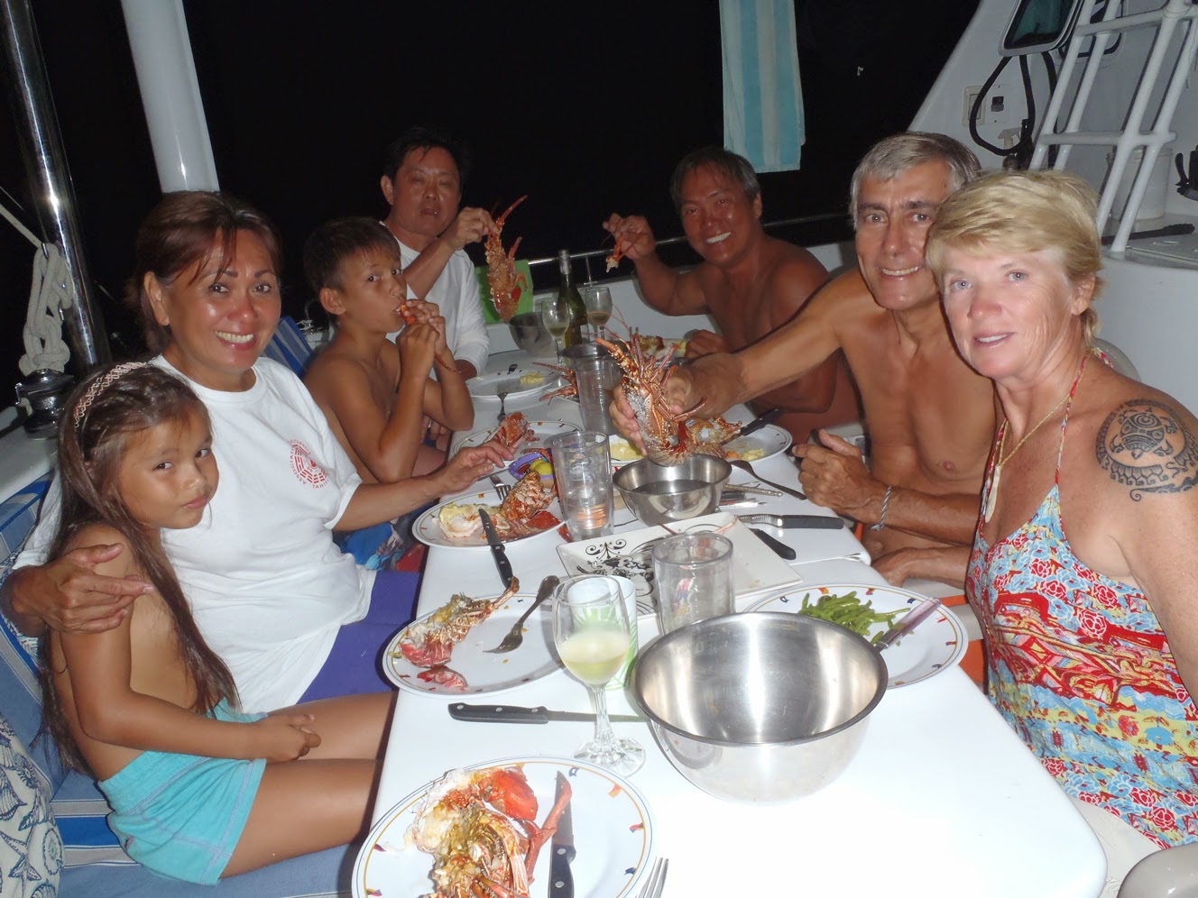
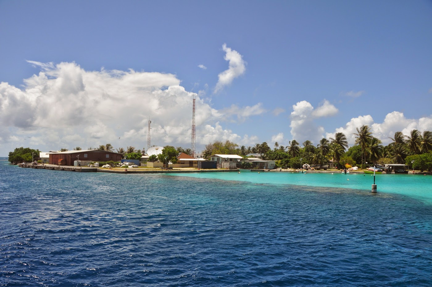
With light winds from NE, we opted to stay at the Kia Ora anchorage close to the pass, in spite of the rolling motion created by the incoming surf from the pass. The anchorage is close to town where we got fresh bread every morning from Mamie Jeanine. When the Aranui came town, coming from the Marquesas, we waited for its “baleinieres: do dock and vied with the locals to raid pamplemousses and bananas; when the red hull of the Maris Stella was at the dock, a quiet visit to the captain netted us some fresh produce straight from Papeete; and when Williams showed up, it was with 10 kg of live Pacific lobster he had arranged to get from a friend of his on the atoll. We were set for a cool holiday!
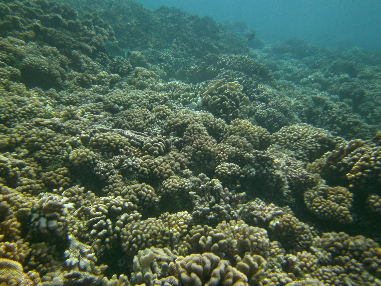
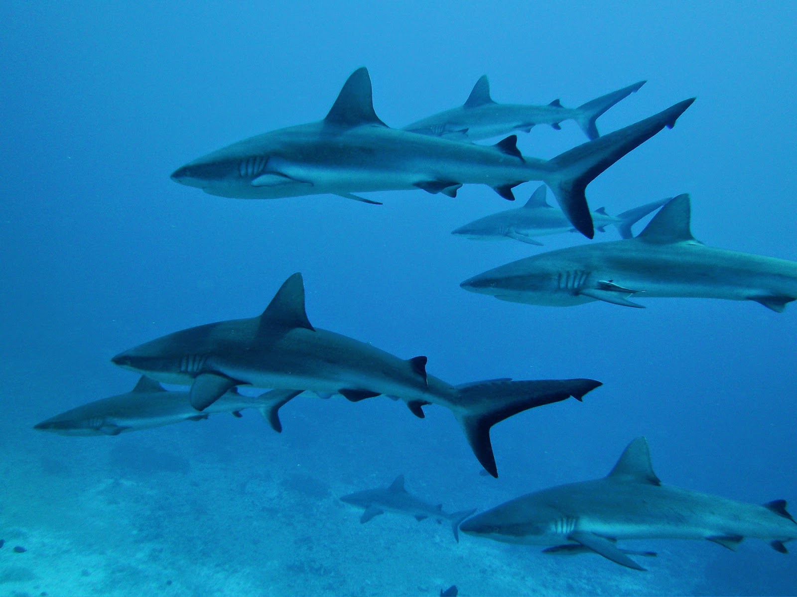
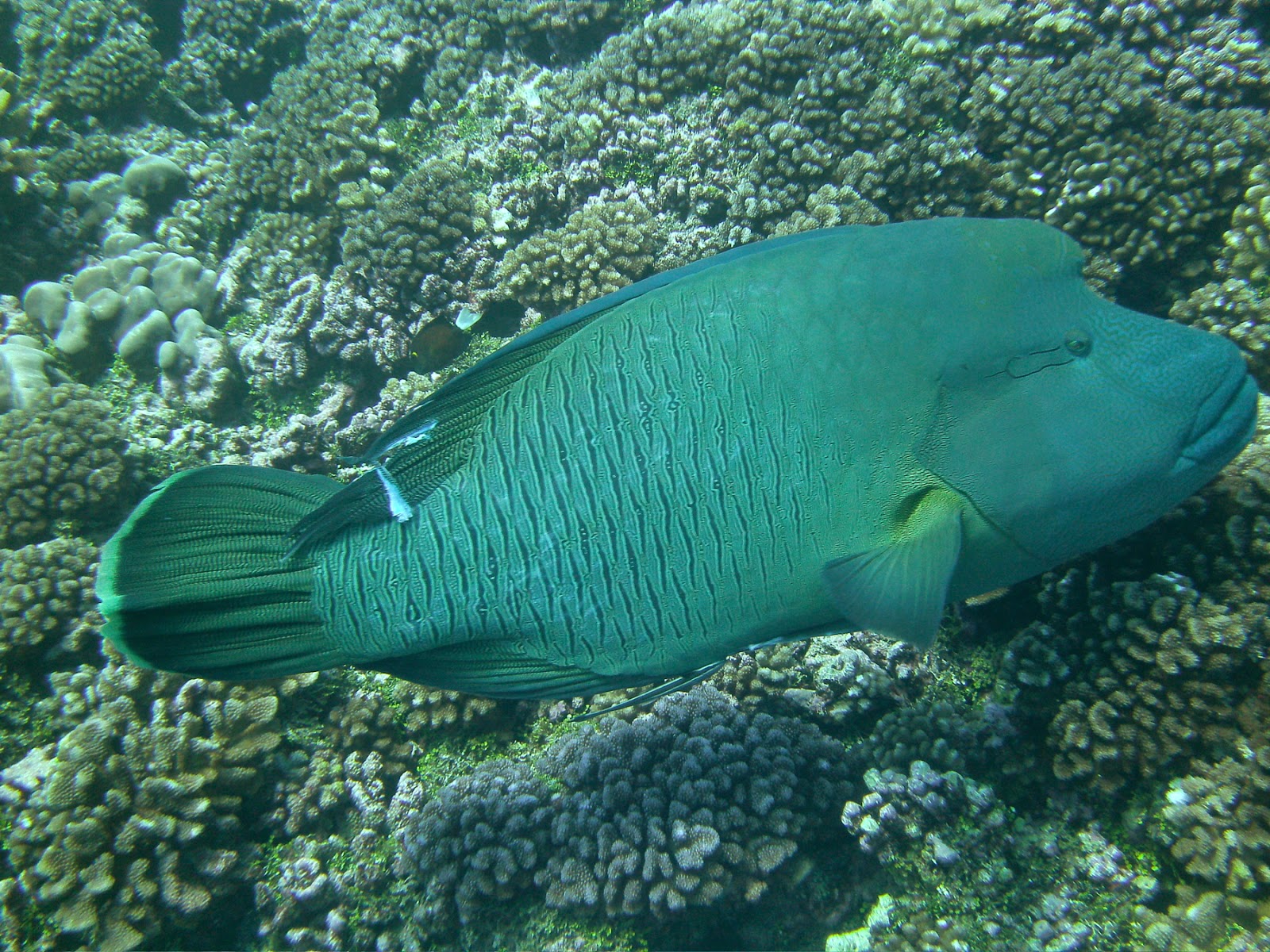
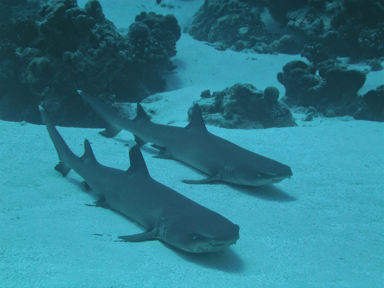
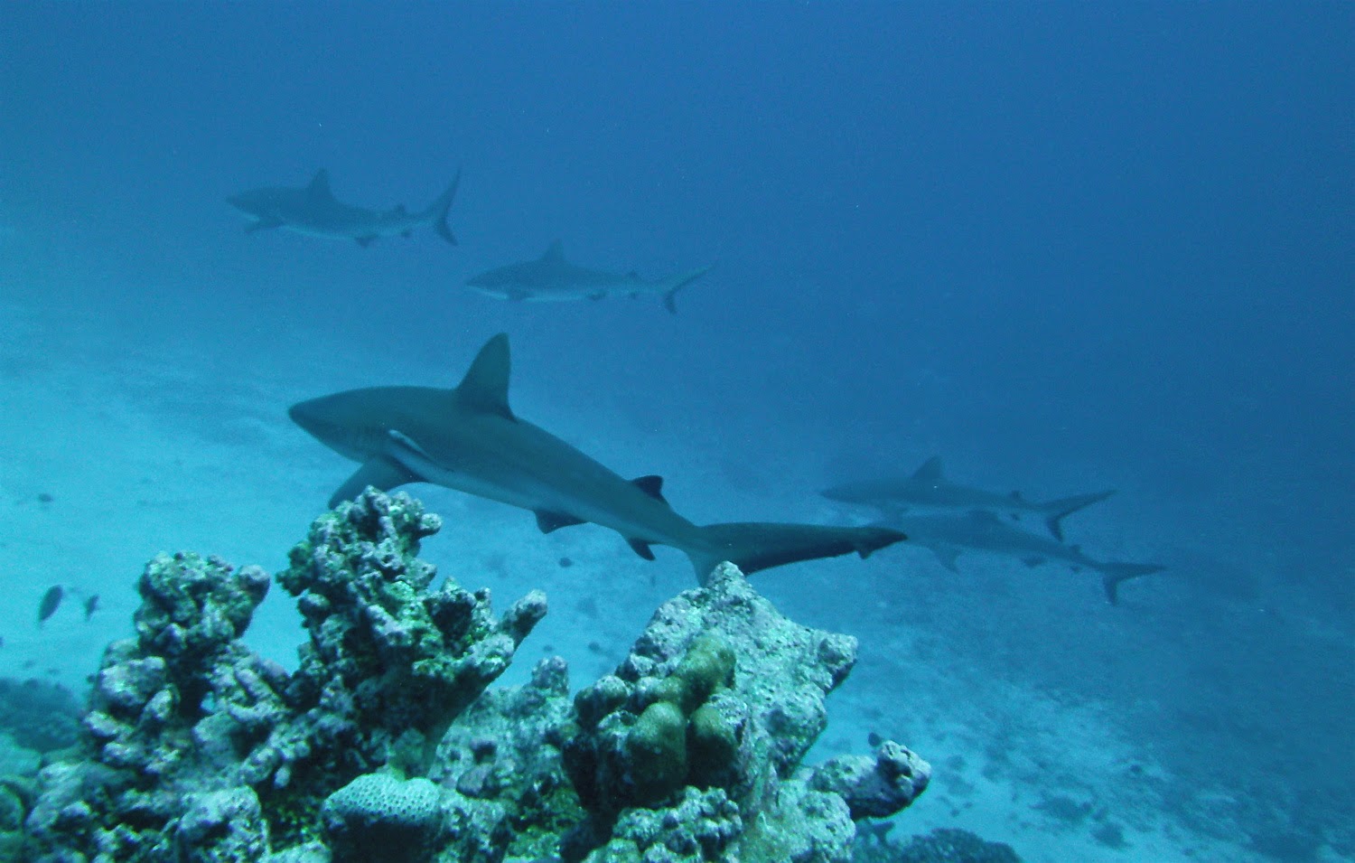
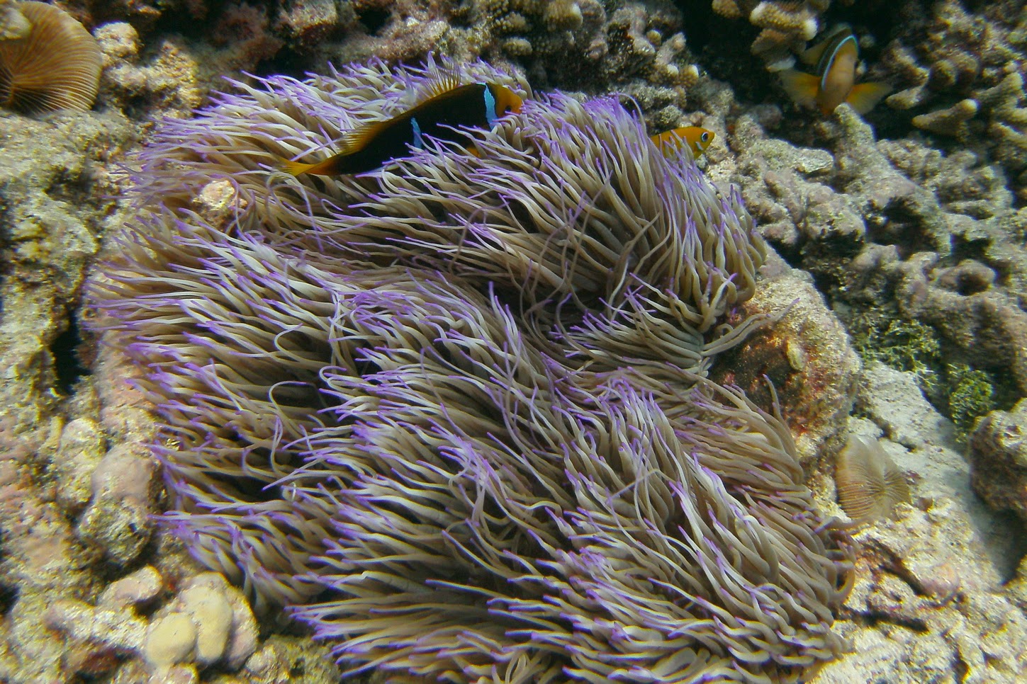
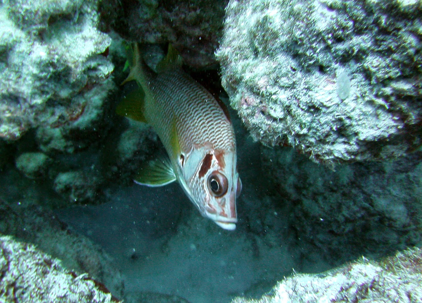
What to do from the Kia Ora anchorage? Snorkel around Motu Nuhi Nuhi at the entrance of Tiputa pass and come face to face with thousands of reef fish in multicolor garb. It’s better than any aquarium you ever saw, complete with angelfish, butterflyfish, giant triggerfish and Moray eels, unicorn fish; you name it, it’s all there! Black-tip reef sharks too, of course.
Williams got seriously into fishing, casting his line at any sign of a passing school, netting ciguatera-free “Tarefa” (a kind of Tarpon, but much better!), Trevally and double-spotted Queenfish, which he saved for a picnic on the beach. Like a true Robinson Crusoe, Williams took us on a Tahitian-style picnic at the closest “Hoa,” one of these cuts in the reef that let the fish in and out of the lagoon and that we had fun drift-swimming on incoming tide. After getting the “ciguatera all-clear” from the local fishermen and netting a “Bec de Canne” (Duckbill) fish in the process, Williams built us a fire on the beach, placed a couple of coral plates on top and just dropped the fish on top, compete with scales and guts and all, while the kids and I snorkeled the coral heads around and Caro tried her luck at line-fishing in the Hoa. Well, William’s fish was delicious and I had no dishes to clean!!!
When the wind piped up from the East at 18 knots, with a forecast of higher winds still, we decided to move and seek shelter at the SE end of the atoll, to a place called “Pink Sands.”
 |
| “Feos lagoon” |
“Pink Sands” Anchorage – S 15°14.75 – W 147°14.62 – 7 meters
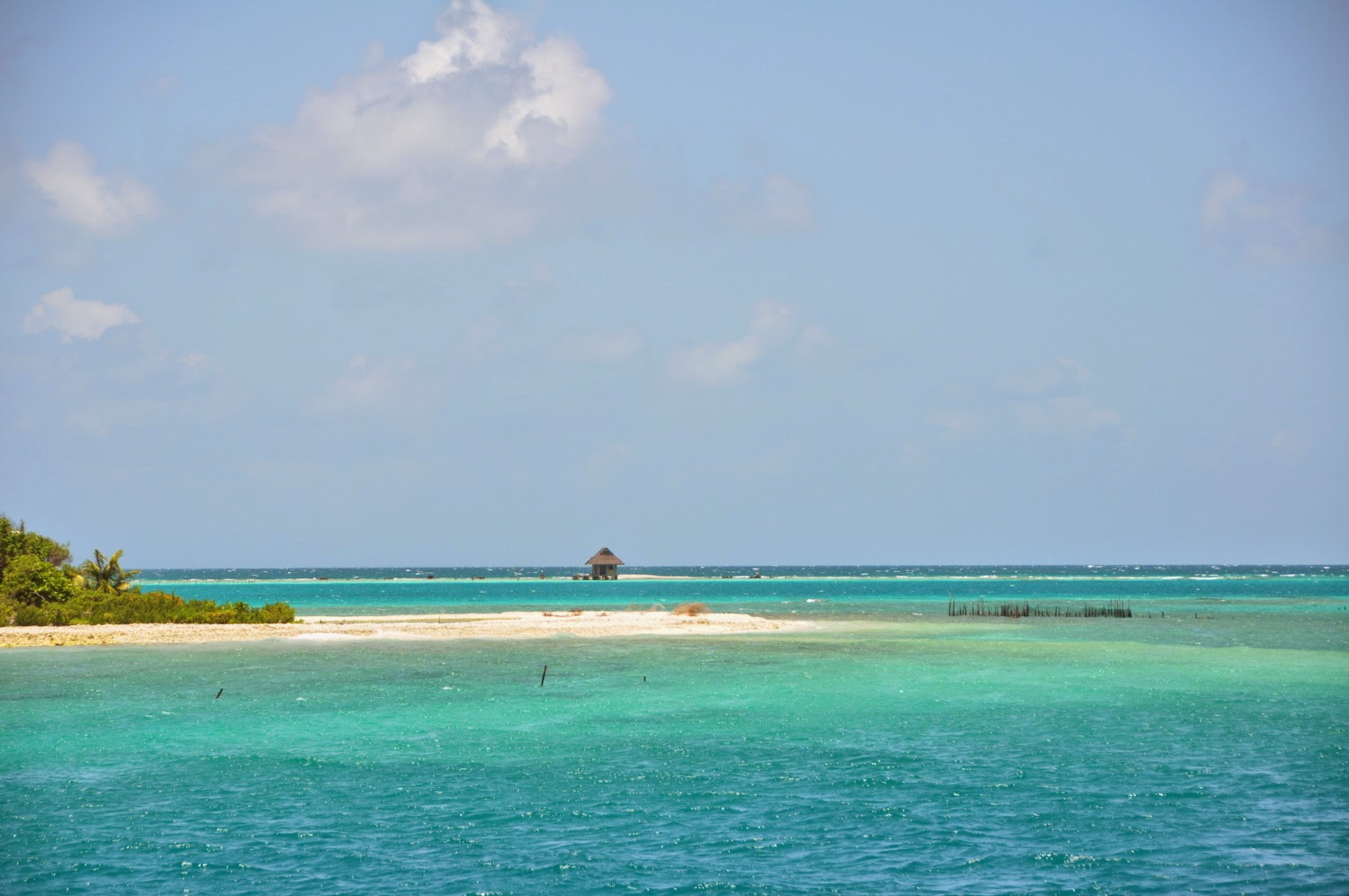
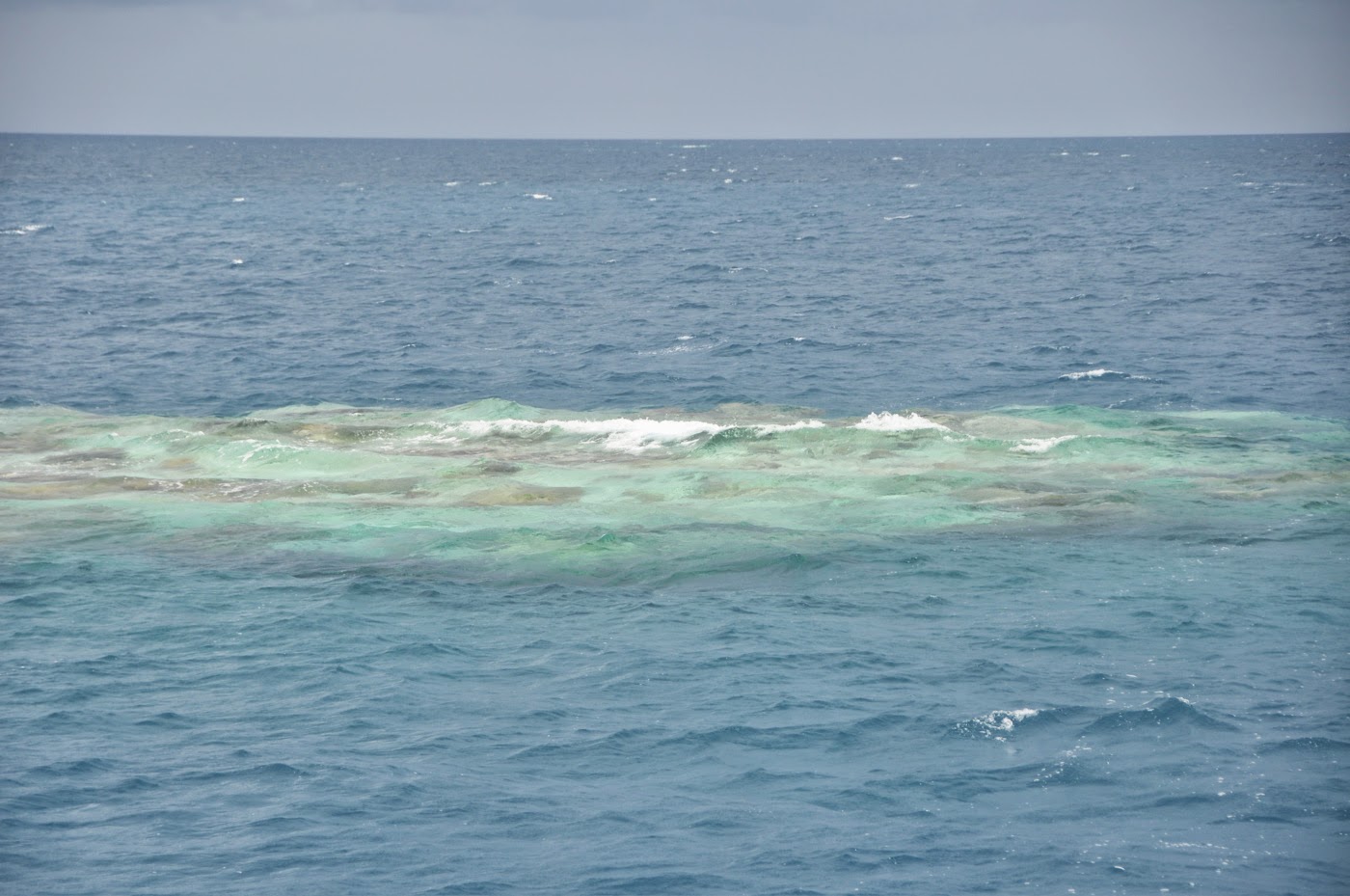
It’s a 30-some miles distance from the Kia Ora to the SE end of the lagoon, and a trip that requires good visibility. A few “Bommies” are in the way and can spell the death of any ship! Certainly, anchoring at this spot can be challenging since one must avoid all coral heads, not only when dropping anchor, but also in the “avoidance circle.” But what a place! And totally sheltered from the Easterlies that were blowing at 18 knots.
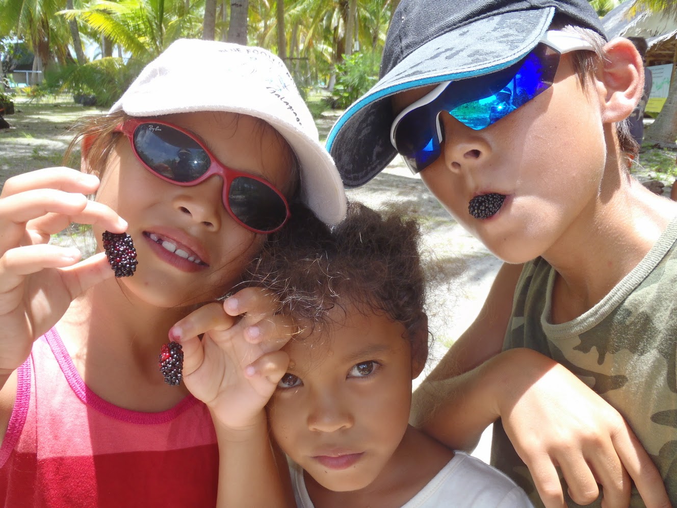
This is “Pure Tuamotus…” remote, talcum-sand beaches, and brown-tipped coral patches ringed in turquoise waters of various intensity. The beaches are covered in fine pink sand, and there is much to explore, which we did happily for 2 days, Caro and Williams loading up the freezer with fish and “Pahuas” (giant clams) to take with them back to Papeete. The Tahitian are really found of their fish (groupers…) and shellfish, and it’s been a lot of fun to watch our friends fish and hunt to their hearts’ content.
When the winds finally died, we continued our cruise to the Atoll of Tikehau (next blog) and then returned to Rangiroa where we delivered our friends to their plane and to civilization in Papeete.
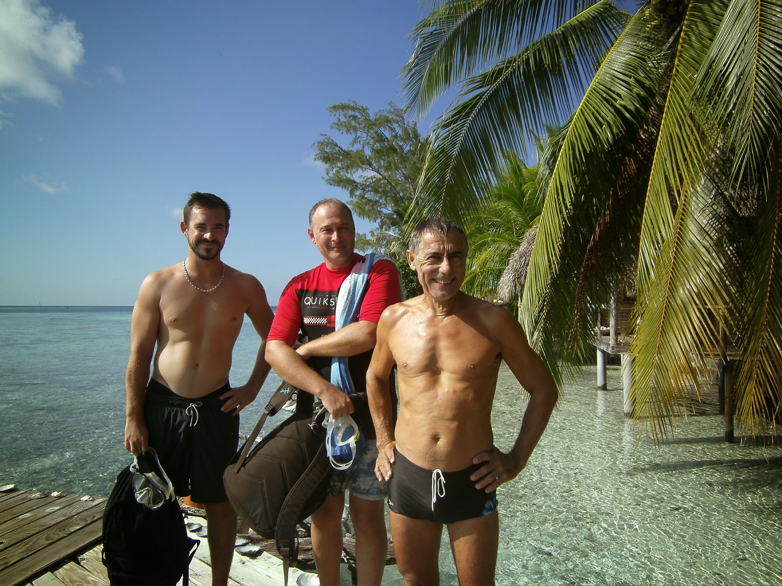
DIVING the TIPUTA PASS – Back to our solitary lives, we decided to book a dive.
JM & Fred arranged for the
”6-PASSENGERS” dive club to pick us up to go dive the Tiputa pass.
Even though we have our own
“Air Line” Hooka, JP and I would never dive a pass without surface support.
When it comes to diving great spots, I like to be pampered… just pick me up, suit me up, and show me the way so all I need to do is focus on the wildlife!
Well, Divemaster Arnaud took us on a nice discovery, even though the visibility was not that great and the dolphins forgot to show up.
But I could focus on the small creatures, like a mini “Nemo,” tiny and translucent, nesting in a pale green sea anemone.
We do recommend “6-Passengers” especially since they give cruisers a fair discount and are one of the clubs participating in the
Te Moana diving pass.
 |
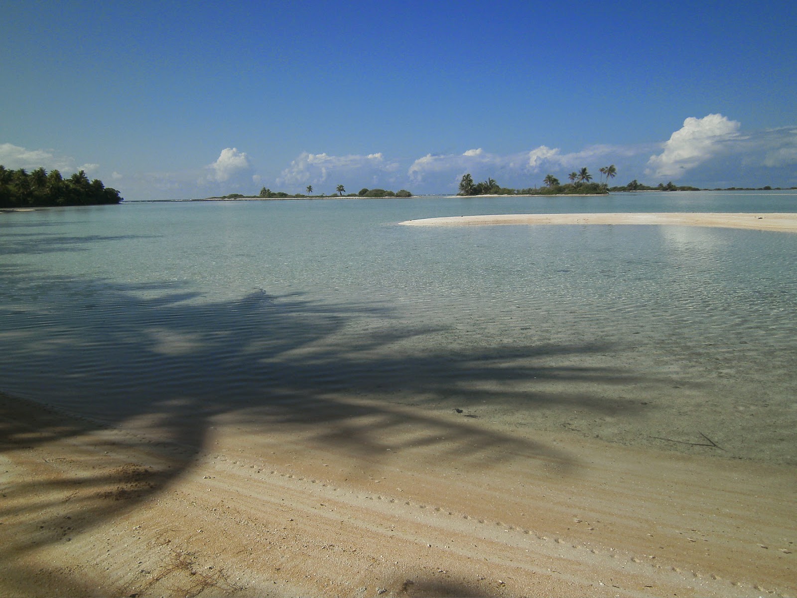
| “Feos” lagoon – Motu Faama |
FEOS – S 15°14.076 – W 147°42.466 – Motu Faama
Finally, the wind has died down to just 5 knots at NE, and that’s what we’ve been waiting for to explore the south part of Rangiroa. A quick motor cruise 15 miles to the South of Tiputa Pass and there we were, anchored in front of Motu Faama. Soon, we were exploring the small lagoon and walked to the strange volcanic formations named “Feos.” These are lava rocks that have seeped through the reef and have been eroded by the sea, leaving extraordinarily sharp and chiseled formations. Good shoes and even gloves are necessary to walk around the area.
 |
| “Feos” – Lava lace |
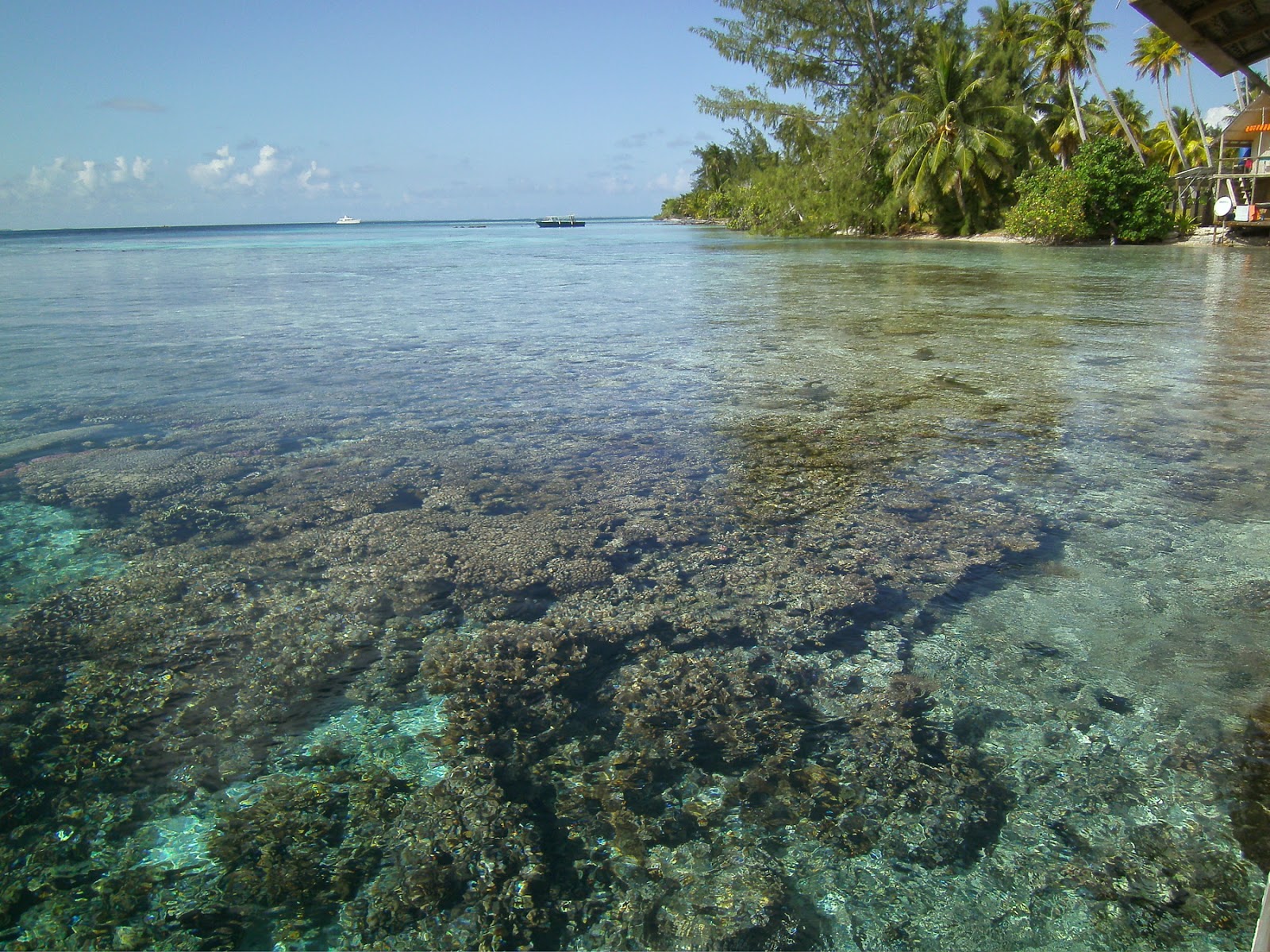
Past the Feos is the coral reef itself, wide, flat and full of small treasures. Pencil urchins, turtle urchins, “Ma-oas” (giant sea snails), red-and-green octopus, and bits of broken coral in an array of colors: pink, red, purple, mauve… With the ocean flat as a frozen pond, we took advantage of the calm to discover the “platier” (walkable reef.) Joined by 2 more catamarans (“Hokulea” and “Lady Helene”) we joined forces to put together a seafood feast: rigatoni with mahi and Ma-oas in sea urchin cream sauce, apetizer of “Pahuas,” these giant clams with multicolored lips, sea urchin dip… creating recipes as we go!
 |
| How clear is the water? |
BLUE LAGOON – S15°05.63 – W 147°55.367
The calm weather was holding, motivating us to explore a bit more to the west of the atoll, to a spot called the “Lagon Bleu.” JP carefully scanned the bottom with our fish finder and found a spot where the coral heads were spaced out just enough for us to drop anchor. It’s not recommended to overnight at the Blue lagoon, since the dominant East wind will whip up quite a chop at this western end of the lagoon. But no wind was expected for the next 24 hours, so we kept BigD on a short leash with only 1 fender on suspension.
 |
| Anchoring, Tuamotu style |
As soon as we dropped anchor, a dozen black tip sharks were circling around us. This is a very popular place and tour boats come every day to feed the sharks so that tourists can take pictures and even snorkel with the creatures. I suppose this makes me less and less afraid of the black tip when I swim and I start realizing that it’s quite a scardy-cat, as long as I don’t have a fish at the end of a spear! The big attraction here is the large lagoon, cerulean blue and flat. Our luck! A Polynesian tour guide was feeding lunch to his clients… and would we like to join them? Soon, we were treated to “poisson cru,” grilled Mahi and Teriaki chicken on the beach, serenaded by the guide-turned-yukulele player. Trust Polynesian hospitality! We took the dink all the way to the end of the lagoon and to the outer reef, to Bird island where thousands of sea birds nested… and there we swam in the pure blue, all alone, in total peace. True magic!
 |
| Neighbors! |
In the morning, though, clouds were gathering and the Grib delivered via our Iridium e-mail showed an upcoming deterioration in the weather… time to move. Where to? Next lagoon!
Until then… dominomarie


 Until then…